
Squaw Valley Creek starts near majestic Mount Shasta, travels through McCloud, and empties into the McCloud River. It travels through magnificent old growth forest in the vicinity of the Squaw Valley Creek Trail. This is covered in my 75 Hikes in California’s Mount Shasta and Lassen Volcanic National Park Region, revised edition, but you can find an updated description and topo map of the Squaw Valley Creek Trail at the Mount Shasta Trail Association website.
Depending on the speed of your internet connection, some of these pages may take a minute or so to load; I have gone for larger size and greater resolution so that you can truly enjoy the pictures. Please note that all of these images are copyrighted. If you wish to use any of them, e-mail me and we can discuss.
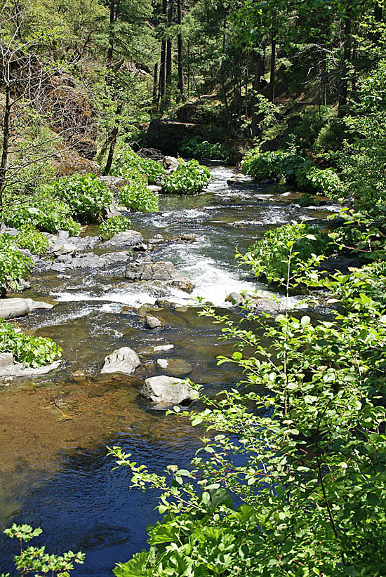
Squaw Valley Creek.
(Photo copyright John Soares)

Squaw Valley Creek close-up view.
(Photo copyright John Soares)


