Hike to Smith Lake beside California’s Russian Wilderness and enjoy the deep-blue waters and surrounding steep granite. Fishing is good, but campsites are basically nonexistent. Note: Smith Lake is actually just outside the Russian Wilderness on the Salmon/Scott River Ranger District of Klamath National Forest.

When to Visit Smith Lake
Basically, whenever trails and terrain are snow-free, or nearly so. In recent years, this has ranged from late June to late October, although in drought years it can be mid-June.
Swimming, Fishing, and Camping at Smith Lake
The swimming is great from July on. The water is deep, clear, and on the colder side.
Fishing can be very good for eastern brook trout, rainbow trout, and brown trout. (Get info on the California fishing license here.)
Camping is a difficult proposition. There are no obvious level spots for a tent, although a single backpacker in a pinch could like find a mostly level spot to lay out a sleeping bag on the ridges near the east side. And if you’re planning on a fire, a California campfire permit is required.
Getting There…
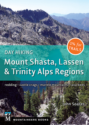
The Pacific Crest Trail is the most common route for getting to Smith Lake. PCT section hikers and through-hikers pass right above the lake, as do hikers headed to Paynes Lake from Etna Summit (the latter route is Hike 81 in my book Day Hiking: Mount Shasta, Lassen & Trinity Alps Regions, and it’s also described in Hike 53 of my 100 Classic Hikes: Northern California).
From the Pacific Crest Trail it’s a moderate scramble of a couple hundred yards and 200 feet of elevation loss to get down to the shore.

Hiking the Pacific Crest Trail from Etna Summit to Smith Lake
This is one of my favorite hikes, one I do nearly every summer, typically on my way to Paynes Lake and the Albert Lakes. Reach Etna Summit by taking paved Sawyers Bar Road for 10.5 miles from the historic downtown of Etna on Highway 3 in the Scott Valley. The Pacific Crest Trail begins at the huge parking lot and runs southerly for 3.2 miles with about 1400 feet of elevation gain to pass above Smith Lake. Be aware that a substantial snowbank about a half-mile north of the lake can persist well into summer in some years; if you’re an agile and careful hiker you can likely make your way around it.

Taylor Lake to Smith Lake via the Pacific Crest Trail
Reach the Taylor Lake trailhead by continuing past Etna Summit (see above) for 0.3 mile and then turning left onto paved Forest Road 41N18. Follow this 2.4 miles to the trailhead. It’s an easy and level 0.3 mile to to Taylor Lake.
From the north end of Taylor Lake where the trail from the parking area ends (see Hike 82 in my book Day Hiking: Mount Shasta, Lassen & Trinity Alps Regions), take the trail along the east side for about half the length of the lake, and then make the steep scramble up the open slope to the gap, where you meet the Pacific Crest Trail. (Note: great views of the Russian Wilderness and beyond from this gap!)
From here, turn left on the Pacific Crest Trail (stay right at an unsigned meeting with the fainter trail to Meeks Meadow Lake and Ruffey Lake and climb north 0.3 mile to the first sighting of Smith Lake.
Camp for Free in California National Forests
 California’s national forests and BLM lands have thousands of miles of dirt roads with lots of spots for dispersed camping (boondocking). My book provides all the info you need to get started (but is not a guide to specific sites):
- Researching the best locations
- Finding the best camping spots
- Backcountry safety and ethics
- What to take
Buy it on Amazon
Buy it on Apple, Kobo, and Nook
Hiking Ruffey Lake/Meeks Meadow Lake Trail to Smith Lake
Forest Service maps show a trail heading west and uphill just north of the outlet stream from the Ruffey Lake/Meeks Meadow Lake Trail (click the link for my detailed description of that hike). When I hiked here I didn’t see this path, although I was looking. Your best bet is one of the other two routes described above.
My Youtube Video of Smith Lake
Here’s the video I shot on a beautiful summer day while on my way to Paynes Lake and Upper Albert Lake…
Check out my Youtube channel to see lots more videos of outstanding Northern California hiking destinations.
Want to Know All the Good Local Hiking Options?
Then check out my book Day Hiking: Mount Shasta, Lassen & Trinity Alps Regions.
Best Day Hiking Trails in Upper California
 My compact guidebook has the 125 best day hikes:
- Mount Shasta and nearby
- Lassen Volcanic National Park
- Trinity Alps and Marble Mountains
- Redding area
- Whiskeytown and Shasta Lakes
Includes trailhead directions and detailed maps and trail descriptions
Buy it: on Amazon | on Bookshop.org
Often available at bookstores and outdoor stores (call first!)
Your Take
Questions about the lake or how to get there? Good experiences to share? Let us know below!


Leave a Reply